
The Bermuda Railway Trail
« Back to Info | Parks & Nature Reserves | Beaches
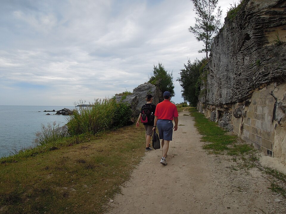 Photo: slgckgc, CC BY 2.0
The Bermuda Railway Trail follows the route of the island's old railway from one end of Bermuda to the other, and its western end is right on our doorstep in Somerset. It is a quiet, traffic-free path through woods, farmland and rock cuttings, with lovely views of the water: perfect for a walk, a run or a bike ride. Here is a short history, the trail section by section from Somerset eastwards, and a few outings to try from the cottages.
A little history
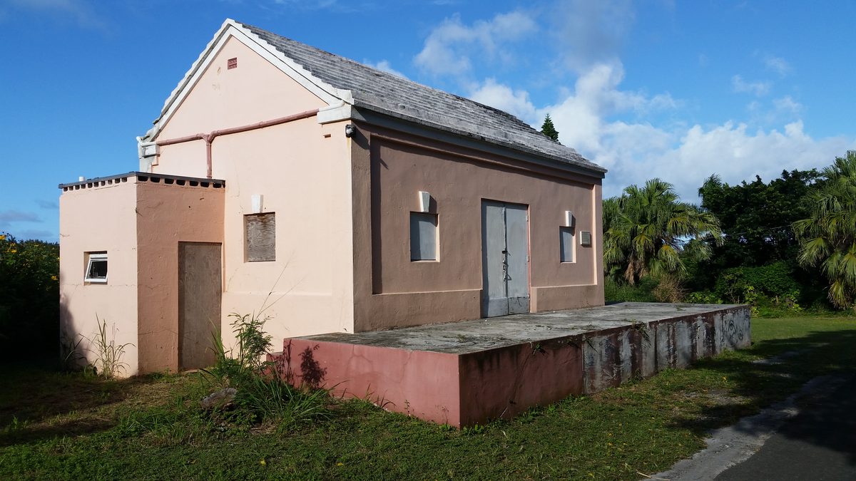 Photo: Pi3.124, CC BY-SA 4.0
Cars were banned in Bermuda until 1946, and in 1931 the island got its own railway. It opened on 31 October 1931 and ran about 22 miles from St. George's Station in the east to Somerset Station in the west. More than a tenth of the line was carried on bridges and trestles, many of them over the water, and it was affectionately known as "Old Rattle and Shake".
The railway was busy (it carried 1.5 million passengers in 1945) but expensive to keep up, and the salt air rotted and rusted its bridges. Once cars arrived after the Second World War it could not compete, and the last train ran on 1 May 1948. The trains were shipped to British Guiana (now Guyana), but the old route stayed public land, and Bermudians have walked and cycled along it ever since (and, in years gone by, ridden horses on it). Today it is the Railway Trail National Park, looked after by the Government's Department of Parks, and you can still see old stations, cuttings, signal posts and the stone piers of the bridges along the way.
The trail today
- Not continuous: about 18 of the original 22 miles are open, in sections. There are gaps where you have to use the road, the biggest through Hamilton, and others at Somerset Bridge, Flatts, between Bailey's Bay and Coney Island, at the St. George's Oil Docks, and across Ferry Reach (the old bridge has gone). Several sections also cross busy roads, so take care.
- Surface: it varies. The western end through Somerset and Southampton is broad, flat and mostly paved, the easiest part of the trail for bikes. Further east there are rougher, unpaved stretches, steps and old bridge sites where cyclists need to get off and walk.
- Who can use it: walkers, runners and cyclists. Cars are not allowed. On the Somerset section mopeds use the trail too (the law allows them there), and you may meet horses and riders, especially in Somerset and elsewhere where the gates are open, so keep an ear open and keep to one side.
- E-bikes: Bermuda's rules for e-bikes are changing: in September 2026 the Government announced that riders will need to licence and insure them and wear a certified helmet. If you hire one, ask the hire company whether it is road-legal and where on the trail you may ride it.
- Dogs must be kept on a lead.
- Facilities: there are no toilets or drinking water along most of the trail, so carry water and plan stops at cafés, beaches or parks along the way.
Watford Studios Access point (numbers match the list below) Railway Trail On the road. Tap a number to see it on the map.
Getting there by bus
Our bus stop is just yards from the cottages, on routes 7 and 8, which run between Dockyard and Hamilton along Somerset Road and Middle Road, past most of the western half of the trail. Wait at the pink pole for buses towards Hamilton, and a blue pole to come home. For the eastern sections, change buses at the Hamilton bus terminal. If you are not sure where to get off, ask the driver: they are always happy to help. Timetables and fares are on Shorelink and our Getting Around page.
The trail, west to east
Section lengths are approximate, as given by the bermudarailway.net trail guide. For walking or cycling times from the cottages, use the Google Maps links under each access point.
Somerset Station to Somerset Bridge
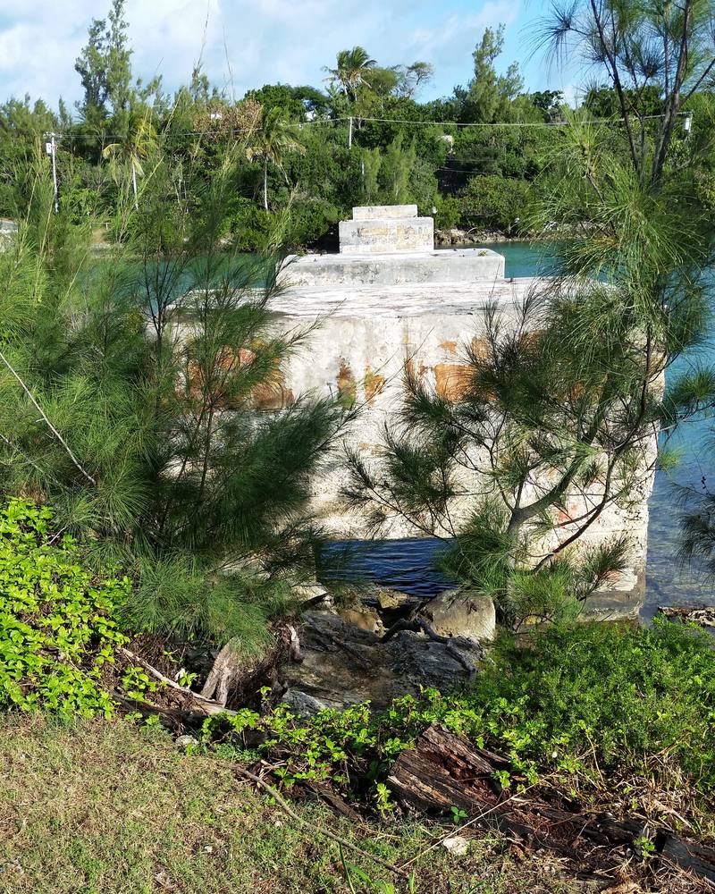 Photo: Pi3.124, CC BY-SA 4.0 (cropped)
Our own stretch, and one of the nicest. It is paved all the way and flat: good for walking and cycling, and mopeds use it too, and you may well meet horses and riders. Heading south from Somerset Village you pass close to the Springfield and Gilbert Nature Reserve, go under a footbridge, and look out over the Great Sound. Rare patches of farmland and an old railway signal post follow, with Scaur Hill Fort Park on the hill above (well worth the climb for the view). The section ends at the old Somerset Bridge station and the railway bridge piers beside Somerset Bridge, said to be the smallest working drawbridge in the world.
Woodland and gardens along here are good for birds, especially in the autumn migration.
- 1
- 2
- 3
- 4Somerset Bridge
The south end of the Somerset section. From the bridge, follow Wharf Drive a short way until you see the old railway bridge piers in the water, then take the short climb back up onto the trail.By bus: Routes 7 and 8 both cross Somerset Bridge (ask the driver for Somerset Bridge).
Directions in Google Maps from the cottages: walking · cycling · bus
Somerset Bridge to Frank's Bay
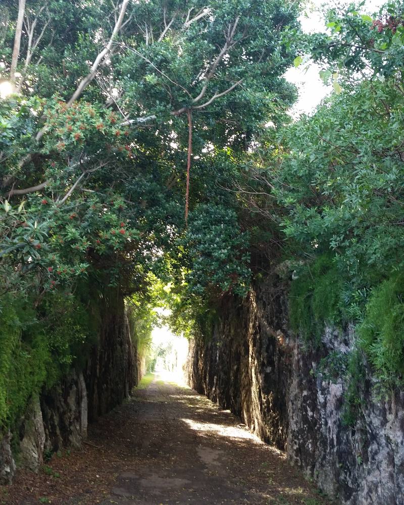 Photo: Pi3.124, CC BY-SA 4.0 (cropped)
Another good stretch for cyclists, partly paved. It passes the old White Hill and Evans Bay stations (both with plaques), through tree tunnels and a steep railway cutting, with views over the Great Sound. The trail crosses Middle Road several times, so take care at each crossing. From Evans Bay you can make a detour to West Whale Bay and its park. The section ends at the old trestle piers across Frank's Bay.
- 5
- 6
Frank's Bay to Khyber Pass
Past the old Riddell's Bay station and below Gibbs Hill Lighthouse: Tribe Road No. 2 is a steep climb up to it if you want the view. The stretch alongside Middle Road beyond the lighthouse is easy for cyclists, then the trail goes through a pedestrian tunnel and on through the middle of Warwick. The South Shore beaches are not far away to the south.
- 7
- 8
Khyber Pass to Rural Hill
Past Warwick Pond (Sherwin Nature Reserve), through cuttings in the heart of Paget and close to Paget Marsh, past the old Elbow Beach station, and under Middle Road through the railway's longest tunnel at Rural Hill.
- 9
Hamilton: a gap
The railway ran through Hamilton, but almost every trace of it has been built over, so there is no trail through the city. Take the bus, or walk through Hamilton between Rural Hill and Palmetto Park; the official trail map shows a route of about 2 miles round the east side of the city, near the Botanical Gardens and the Arboretum.
Palmetto Park to Flatts
A quiet stretch above the North Shore with open countryside, a railway cutting, the bridge over Barker's Hill and views across to Gibbet Island and back towards Dockyard. A footbridge carries the trail over North Shore Road at Flatts. The new bridge across Flatts Inlet itself is still unfinished: work stopped when an underwater cave was found near one of the planned foundations. Until it is built you need to walk round through Flatts Village; the Bermuda Aquarium, Museum & Zoo is right there.
- 10
- 11
Flatts to Coney Island
From Flatts the trail runs without a break to Shelly Bay, past the old Aquarium station, then on in short sections round Shelly Bay and Crawl Waterfront Park, with a deep cutting east of Crawl and a footbridge across Bailey's Bay. Between Bailey's Bay and Coney Island much of the way is on North Shore Road. At Coney Island the old railway bridge piers look across Ferry Reach to St. George's Island.
- 12
- 13
Ferry Point Park to St. George's
There is no bridge across Ferry Reach any more, so this last stretch starts at Ferry Point Park: the ruins of the railway swing bridge, Lover's Lake (a mangrove pond), a restored Martello tower and quiet coves. Heading east, the trail passes Astor's Halt and a cutting before it meets the fence of the Oil Docks, where you must go round by road. It picks up again at the end of Wellington Lane and runs along the north coast past Rocky Hill Park and the trestle at Mullet Bay into St. George's.
- 14
- 15St. George's (Wellington Lane)
The eastern end of the open trail. The old St. George's Station was by Penno's Wharf; from there walk west along the main road to Wellington Lane.By bus: From Hamilton, routes 1, 3, 10 or 11 to St. George's.
Directions in Google Maps from the cottages: walking · cycling · bus
Walks and rides from the cottages
- Somerset Village to Somerset Bridge (walk or easy bike ride). Join the trail at the old Somerset Station in the village and follow it south to Somerset Bridge: about 1¾ miles each way on a paved, traffic-free path. Climb up to Scaur Hill Fort Park on the way for the view over the Great Sound. Walk back the same way, or catch a 7 or 8 bus home from Somerset Bridge (ask the driver for Somerset). Directions in Google Maps
- Somerset to Frank's Bay by bike. Carry on past Somerset Bridge through the White Hill and Evans Bay stations to the old trestle piers at Frank's Bay: about 4 miles each way from Somerset Village, partly paved. Watch out at the Middle Road crossings, and make the detour to West Whale Bay for a swim or a picnic. Directions in Google Maps
- A day out east: Flatts to Shelly Bay. Take the bus to Hamilton and on to Flatts, then walk the unbroken stretch of trail from Flatts to Shelly Bay, above the North Shore. Finish with a swim at Shelly Bay and catch a 10 or 11 bus back to Hamilton. Directions in Google Maps
The trail does not go to Dockyard: the railway ended in Somerset Village. To get to Dockyard, take a 7 or 8 bus (see Getting Around).
Tips
- Bike hire: see our Getting Around page. The flat, paved Somerset section is the best place to start.
- Sun and water: the sun is strong even on cloudy days, and there is little shade or water on some stretches. Wear a hat and sun cream, and carry plenty to drink.
- Stay on the trail: keep to the path, and walk your bike over old bridge sites, steps and steep bits. Take care at road crossings.
- Respect private property: the trail passes many homes and gardens, and some access points are rights of way across private land. Please be quiet and considerate.
- Take your rubbish home, and leave plants, birds and their nests undisturbed: the trail is a national park.
- Go in daylight and tell someone where you are going if you head out alone.
Many of the parks and nature reserves near the trail, from Springfield and Fort Scaur to Ferry Point, with a map and bus directions. Flora & Fauna »
Birds, plants and wildlife you may see along the way.
Trail information from Go To Bermuda, bermudarailway.net and the Department of Parks; things change, so check before you go. Free Railway Trail guides are available at the Visitor Services Centres. Map data © OpenStreetMap contributors.